
By Mary Fairchild
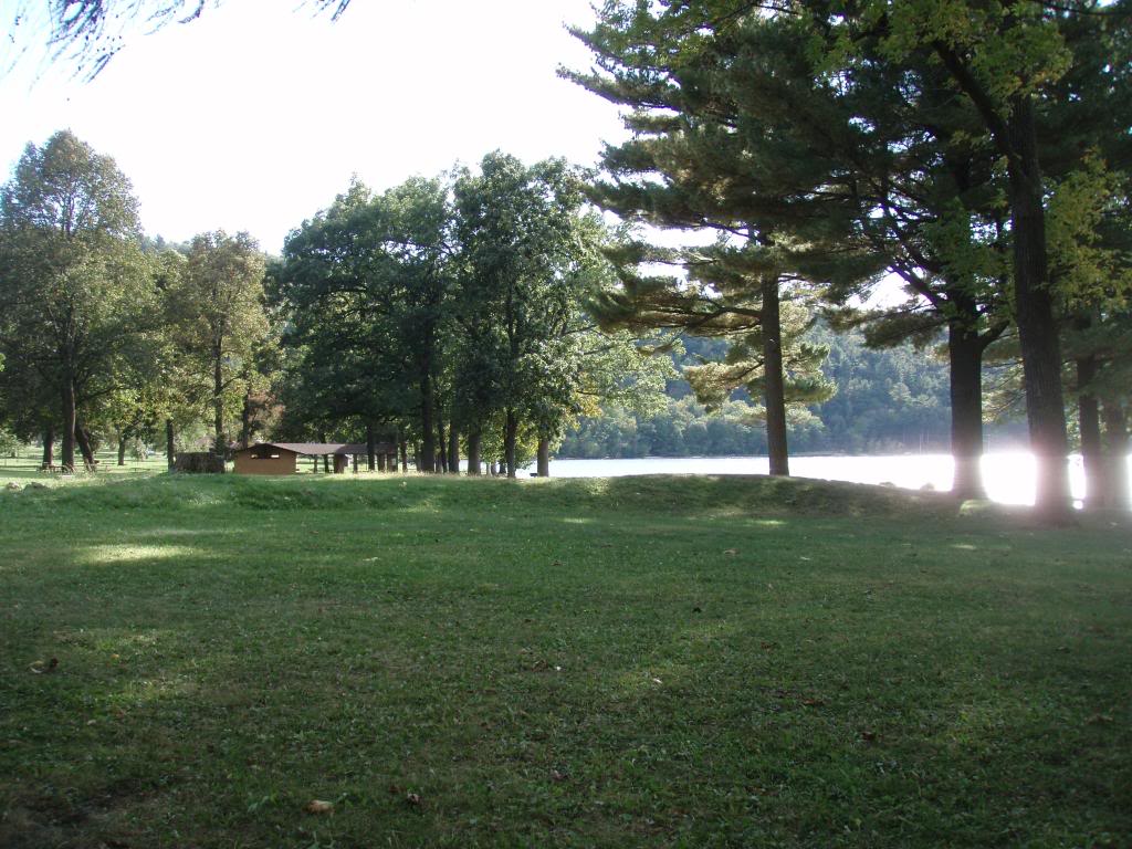
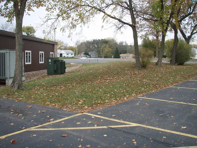
After rock climbing at Devils Lake one evening, we saw a strange shape in the grass alongside the lake. It was a great time to spot it as the sun was beginning to set and shadows began to detail the shape. (Pictures on Flickr)
Devil’s Lake State Park, which is approximately 15 miles south of the Wisconsin Dells, preserves a number of effigy mounds. An effigy mound is an animal shaped mound built by people of the Late Woodland Period which lasted from 300 BC until 400 AD. This 150-foot-long bird effigy[pictured above] is located on the southeastern shore of the lake. It is also possible that this mound form represents a “bird-man” combining characteristics of a bird and a human being.
Man Mound of Baraboo, Wisconsin.
Not far from Devils Lake State Park, in Baraboo, probably built more than 1,000 years ago, is a huge mound in the form of a walking man who has horns or is wearing a horned headdress, such as a buffalo-horn headdress, which was characteristically worn by Native American shamans in more recent times. It is believed to represent a deity. It was originally 214 feet long, but road construction in 1905 destroyed the feet and lower legs of the figure. The Wisconsin Archaeological Society and the Sauk County Historical Society, which purchased the mound in 1907, saved the remainder of the mound from damage.
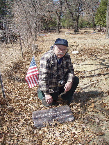
Ross M. Curry, at the Blue Wing Cemetery near Tomah, kneeling by his childhood friend “Little Eagle.”
After purchasing books by the Dells area historian, Ross M. Curry, I learned that while mounds can be found throughout North America, Wisconsin claims the largest concentration with, at one time, there being 10,000 to 15,000 mounds in Wisconsin and about 1,000 in the Wisconsin Dells alone. Curry writes, “It may come as a surprise to some people to learn that the Dells area was once in the center of what might be called a lost civilization.” (p. 10, “Dells Area Indian History Volume III” by Ross Milo Curry, 1995: http://rosscurry.jvlnet.com/ )
It is important to note today, that, although the Ho-Chunk are taking responsibility for mound preservation, no legends or traditions concerning these mound builders survive even though many Wisconsin Native Americans still build simple mounds [picture bleow] on graves in Indian cemeteries.(p. 10,”Dells Area Indian History III”)
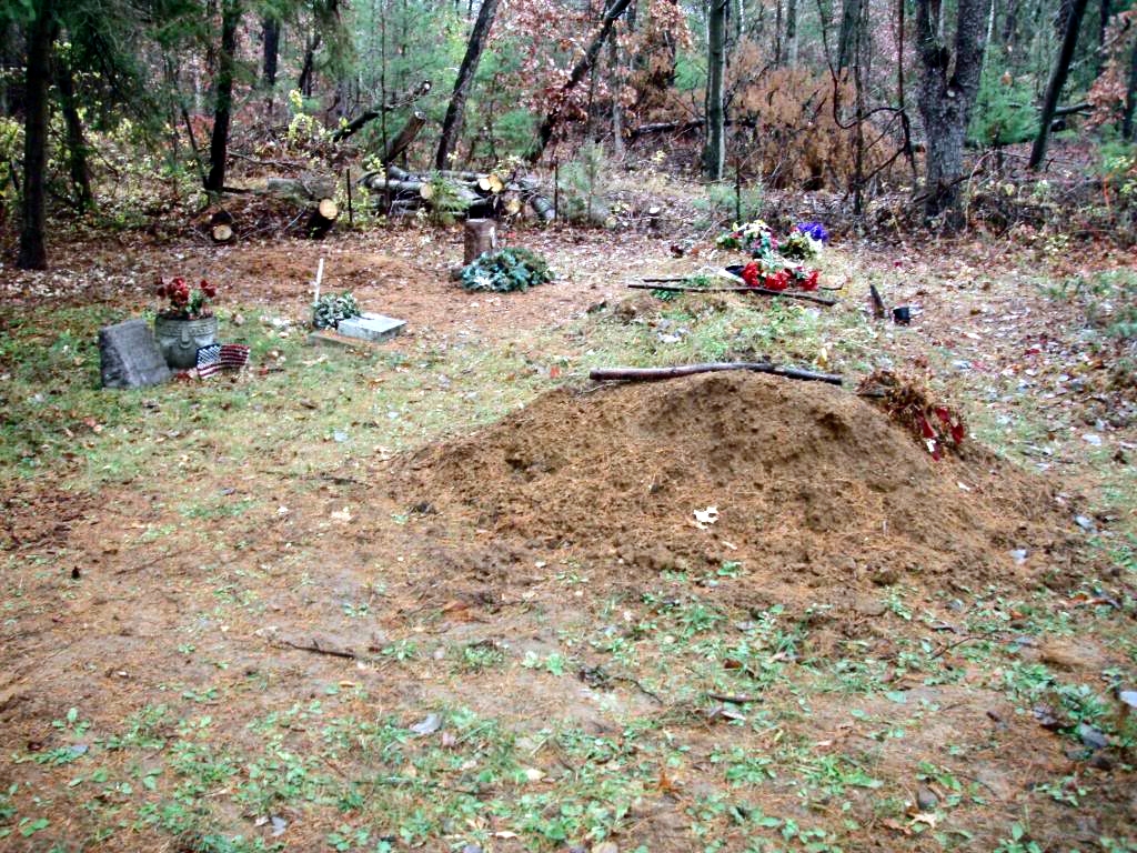
Indian Baptist Cemetery today in the Wisconsin Dells.
The mound builders where a copper culture group. Their effigy mounds are found almost exclusively in Wisconsin, northern Illinois and eastern Iowa and Minnesota. Although there is no proof of relation, this is also the same area that would be later claimed by the Winnebago (Ho-Chunk). Sometimes they buried their dead in these mounds. The artifacts found in these mounds had implements and skill not known to Indians of early historic times. They were hunters, fishers and gatherers rather than farmers. The mounds were believed to represent clans. The mound builders disappeared before the white men arrived.
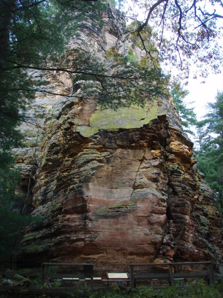
Just north of the Dells on the east side of the Wisconsin River is the sheerest cliff face in Wisconsin, Roche-A-Cri Mound. In Wisconsin the term “mound” means any isolated hill. There you will find an overlook that spans 120 miles at its 300′ summit where you can view the many mesas of the area which were once partially submerged by Glacial Lake Wisconsin. You can also view ancient pictographs and petroglyphs. The rock art includes stylized birds, bird tracks, and other avian symbolism. Although the images cannot be precisely dated, it is estimated that they are as old as 1,000 years. (Wisconsin’s Glacial Mounds; Roch a Cri State Park)
On the west side of the Wisconsin River about 20 miles north of the Dells, the New Lisbon area was once a winter gathering place for the Woodland Culture Indians. Indian Mounds Park (Gee’s Slough Effigy Mounds), just south of New Lisbon is the site of several effigy mounds including a rare flex-legged running panther. The park also includes a linear mound and several round or oval burial mounds that were used by the tribal nobility. The park is located on Indian Mound Road south of New Lisbon off Hwys 12 & 16 and is maintained by the New Lisbon Lions Club. The Effigy Mounds are listed on the National Register of Historical Places.
An impressive collection of artifacts from the Woodland Culture people is on display at the New Lisbon Library, 115 W Park St. (608-562-3213). The collection represents the lifetime achievement of Harry A. Mortensen, a New Lisbon native. A portion of the collection can also be seen at Raabe’s Pharmacy on Adams St in New Lisbon. The Mortensen Collection is listed on the National Register of Historical Places.
Hundreds, perhaps thousands of mounds stand in Juneau county not far from a river or lake. As you drive south, back to the Dells, you may want to see the recently rediscovered panther spirit mound in Mauston. The Panther Spirit Mound Project is funded, in part, by a grant from the History Channel’s Save Our History endowment. It is a partnered effort between the Juneau County Historical Society and Olson Middle School with support from the Mississippi Valley Archaeology Center, the Ho-Chunk Nation and the Wisconsin State Historical Society.
A petroglyph of a thunderbird is in an area cave of New Lisbon (Lemonweir Glyphs). The Twin Bluffs, on Hwy A west of New Lisbon, are the site of prehistoric drawings and paintings (petroglyphs) dating back to 499 B. C. The site is on private property and protected. The glyphs are listed on the National Register of Historical Places.
The Mauston dam, built in 1842, powered a saw mill owned by M. M. Maughs. The lake formed behind the dam is Lake Decorah, named after a prominent Ho-Chunk family in the area. The mill was destroyed in a fire in 1864 and later rebuilt in another location by Benjamin Boorman.
Kingsley Bend Indian Mounds are near the Wisconsin River(river is just beyond the train tracks).
Just south of downtown Dells on Highway 16 toward Portage you will find what is said to be one of the nation’s most unusual wayside parks, “Kingsley Bend.” The Ho-Chunk Indian Nation plans to restore it as an interpretive educational site.
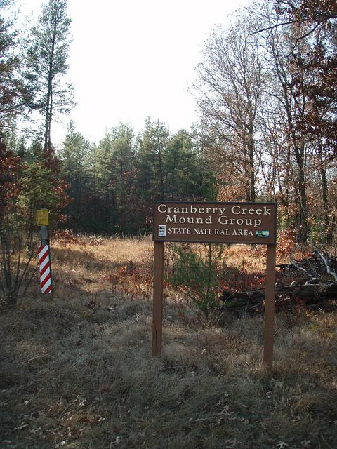
Three miles east of the Necedah Wildlife Refuge, is the Cranberry Creek Mound Group State Natural area. The site contains effigy mounds of the Woodland Culture People dating from 499 B.C. to 1499 A.D. According to the “Wisconsin’s Outdoor Treasures,” a trail guide book, Necedah was a vast open peat bog with numerous wooded islands in the 1800s. Necedah means “land of yellow rivers” in Ho-Chunk language.
Briggsville, Wisconsin: Alexandar Ellis Briggs secured grants from Aaron Town and Jonathan Butterfield and built a dam across Neenah creek to form what is now Lake Mason, whose shores are now lined with summer cottages. The dam was built with a flume at each end and the waters backed up over two Indian mounds representing an elephant and a turtle.
About the same time that the Vikings founded Greenland and Canada, the Middle Mississippian Culture appeared in Wisconsin. About AD 1,000, emigrants from Cahokia began to build new towns in northern Illinois just before moving up the Mississippi and Rock River valleys to Wisconsin.
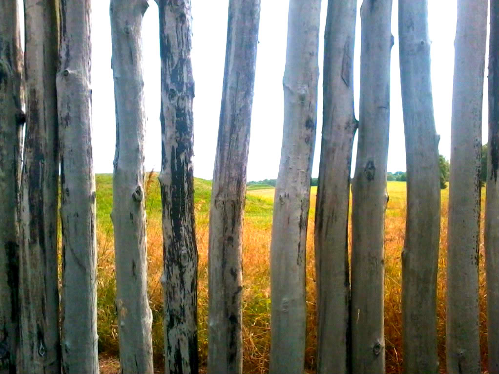
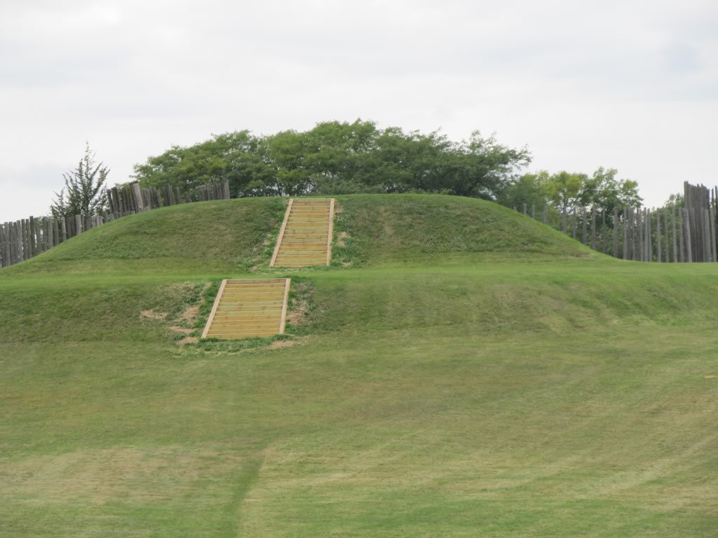
The name Aztalan came from Aztec tradition that describes their ancestors coming from a country up north, which they called Aztalan. It is made up of two Mexican words: atl, water, and an, near which seemed to describe an area that was close to large bodies of water not unlike the Great Lakes. The burned remains of the stockade walls (reconstructed and pictured above) and house walls lent to the thought that Aztalan was most likely burned and not just damaged by natural prairie fires.
A few years ago, after a kayak expedition in the Apostle Islands, I was able to take a ferry over to Madeline Island, which is part of the Apostle Island group in the northernmost part of Wisconsin. Here, at La Pointe, according to Selwyn Dewdney and Calvin Martin, Madeline Island possesses a religious importance among the Chippewa not unlike that of Rome or Jerusalem to the Catholics and Jews. Kayaking the Apostle Islands: Kennedys, Native Americans, Religion, and Myth
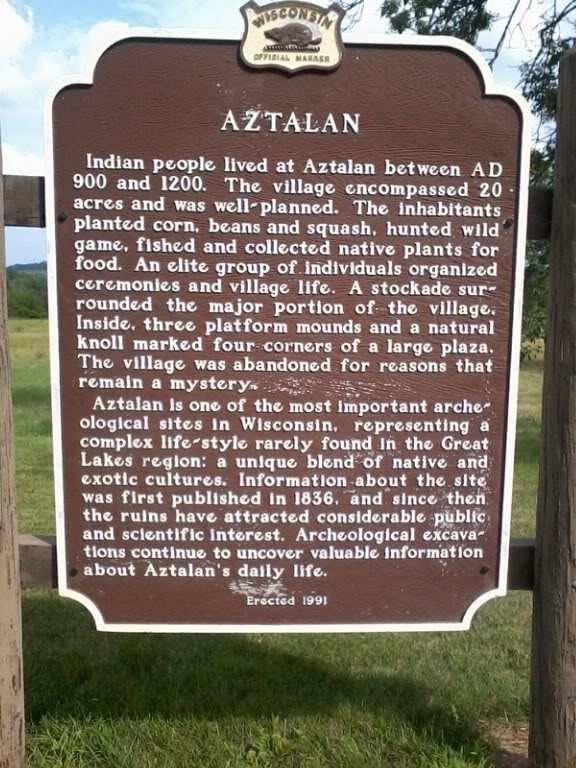
The Lake Mills Aztalan Historical Society writes, “… the Woodland tribes surrounding these intruding strangers with their unheard of foreign customs grew intolerant of their superior ways and drove them out.” (3; p.5)
YouTube Aztalan, “…Andrew O’Hehir calls the Mississippi a ‘cautious but mesmerizing’ account of the archaeological discoveries at the site, which certainly included lots of human sacrifices… it doesn’t fit the traditional paradigm of prehistoric Native Americans as eco-friendly hutner-gatherers.”
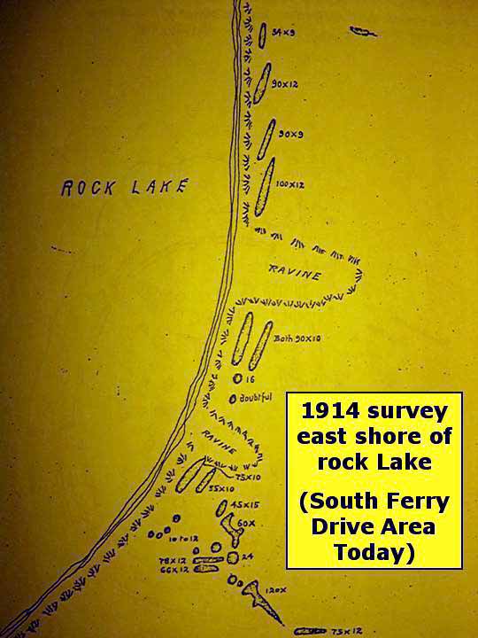
1914 Map includes Indian Mounds of Rock Lake.
After the Great Depression, Aztalan was sought out to become a national park. The National Park Service made a favorable assessment, especially if the site could be reconstructed, but for economic reasons this never materialized. The greatest period of public land recreation related construction occurred late in and shortly after the Great Depression. Today, there is a lack of funding because tax breaks are being provided to corporations and the wealthy, and direct subsidies to powerful special interest groups.
Indian mounds on church property in Baraboo, Wisconsin.
In 1897, a mastodon was discovered in an eroded stream bank in Boaz, Wisconsin. Later, more Paleo-Indian points were discovered and their locations identified. In the book “Images of America–Baraboo,” by the Sauk County Historical Society, we find that on the south side of Baraboo, which is also the Ringling riverfront area, a mammoth skeleton was excavated in 1844 when the first dam was built at Oak Street as well. It was not preservable.
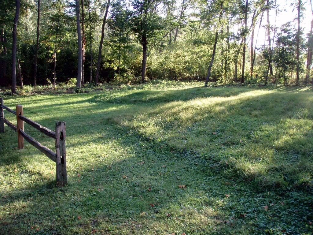
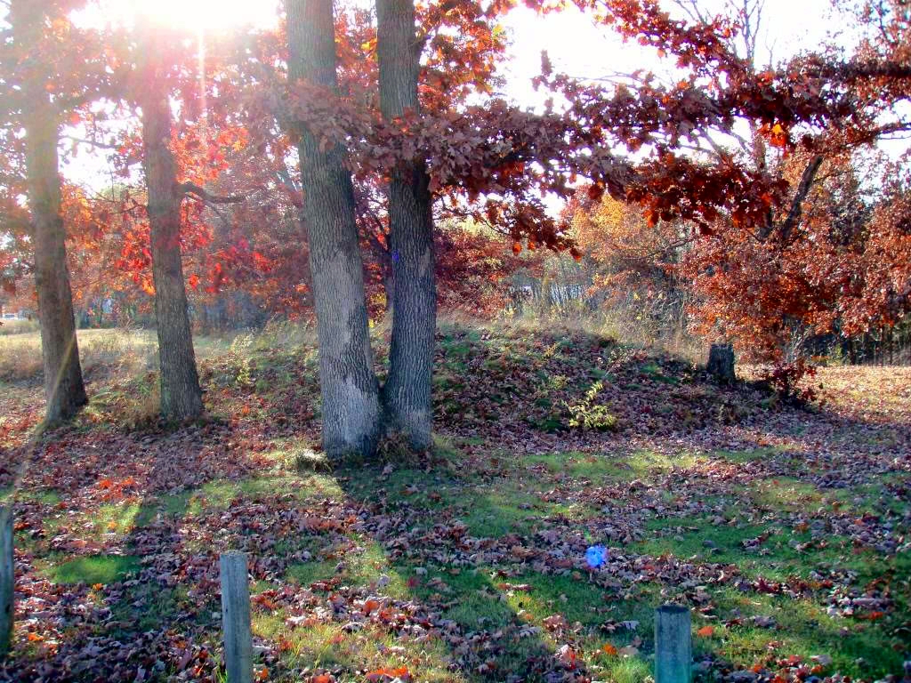
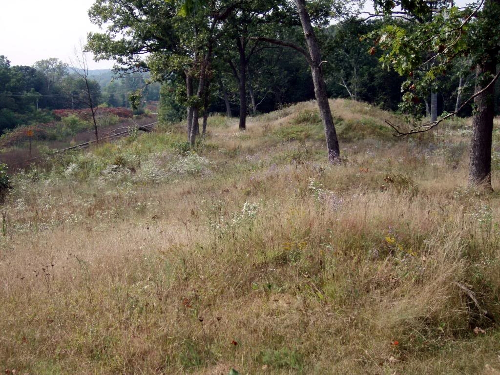
Indian mounds can be found throughout the area usually on high ground by rivers or lakes. Some mounds are still being discovered. I recently drove by a church in Baraboo (Pictures on Flickr) that had three mounds on its property. These mounds are of various forms, most are conical or oblong; some are cruciform, while others clearly resemble animals. They are always composed of surface soil, yet the surrounding alluvium is of average depth.
Just southwest of Baraboo, the Natural Bridge State Park features the largest natural arch in the state of Wisconsin. Directly beneath the arch is a rock shelter once used by Paleo-Indians. The oldest artifacts were pieces of charred wood, presumably from fire pits making this rock shelter. According to the park sign it is “one of the oldest dated sites for human occupancy in northeastern North America.”
Update, April, 2014:
William Canfield Was The first Sauk County Historian
By Ross Curry
One of the earliest settlers in Sauk County was William Harvey Canfield. He was also the first historian and surveyor who surveyed over 4000 land plots in the county, recorded the Indian mounds and also did some surveying for the railroad.
Canfield was born on April 9, 1819 in Onondaga, NY. His father was Harvey Canfield, born 1793 in New Medford, Conn. and his mother was Sarah Root born in 1798.
William Canfield’s father and grandfather Joel were involved in many of the railroad and canal projects going through New York at this time especially the Erie Canal in which they made lot of money. Other projects were not so successful but William found a wife, Cordelia, one of twin daughters of a local farmer whom he could hardly tell apart. They had five children: Edgar, Alice, Willis, Arthur and Cory. Edgar grew up and moved to near San Francisco, Alice married and moved to Minnesota where William Canfield and wife took a trip to visit when they observed their 50th wedding anniversary. Willis died age 35 in Denver leaving a wife and child.
In 1840 the Canfields left for Wisconsin and settled down in the woods near Skillet Creek where they lived in the woods among the elms, pines maples and oaks or 16 years. There in the winter of 1856-57 the two youngest children Arthur and Cory, age 5 and 3 died.
When William Canfield’s father Harvey died William and his family moved into his father’s house in Lyons, now known as West Baraboo. Here he resided for over 25 years pursuing his career as a surveyor. During this time he wrote and published at least two books on Sauk County history and parts of several others. Since this was a time before linotypes were invented and every letter had to be painstakingly put together one letter at a time it remains a tremendous feat. During his time as a surveyor he recorded most of the Indian mounds in Sauk County including some that no longer exist. His diagrams show Man Mound northeast of Baraboo when it still had the legs attached. This rare mound is one of only two in the whole United States. The lower legs were later cut off by some farmer’s plow before the mound could be preserved. His records remain to this day the best preserved record of Sauk County mounds. William Canfield died in 1913 and is buried right across the main road from three generations of my family in Walnut Hill Cemetery in Baraboo.
Canfield was one of the founders and most active members of the Old Settlers’ Club, one of the forerunners of the Sauk County Historical Society.
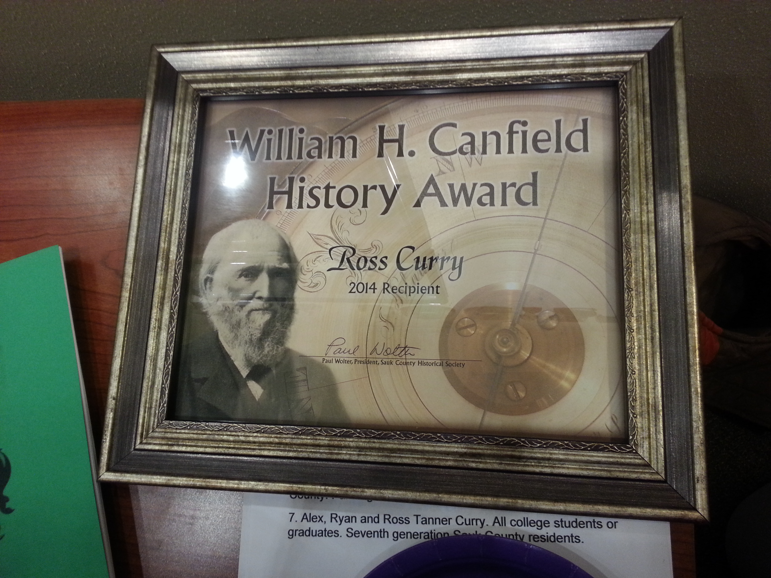
The Sauk County Historical Society gives an award each year to someone who has contributed to Sauk County history. I am the 2014 recipient of this award which will take place on April 8. Watch the newspapers for the announcement. Ross Curry is a local historian and author. Contact him at rcurrysr@Frontier.com
- Pictures on Flickr
- Old Copper Culture: A Visit With Pete Stark
- Kayaking the Apostle Islands: Kennedys, Native Americans, Religion, and Myth
- Aztalan: Mysteries of an Ancient Indian Town, by Robert A. Birmingham, Lynne G. Goldstein. Wisconsin Historical Press.
- Sea Change and Sea Kayaking (Door County artifacts)
- Kayaking Georgia’s Coast: Tidal Flat Ecosystems, Ancient History, and Stewardship (Shell Middens)
- Local Native Americans Buried in Blue Wing Cemetery by Ross M. Curry
- Paddling Lake Okoboji (Inkapaduta, Abbie Gardner)
- Wisconsin Dells History: A Walk With Ross M. Curry
- Hidden History of the Wisconsin Dells by Ross M. Curry
- Portage Daily Register article on Ross M. Curry’s book Hidden History of the Wisconsin Dells. Craig Spychalla; 1/7/11.
Does anyone know if there are burial grounds in Necedah?
The Cranberry Creek Mound Group State Natural Area is located at 7th St, Necedah, WI 54646
Phone:(888) 936-7463. It is mentioned and pictured in this article.
Here is a link: https://en.wikipedia.org/wiki/Cranberry_Creek_Archeological_District